21st Aug, 2021 9:30 GMT/BST
Antiques & Interiors (Part II)

1130
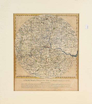
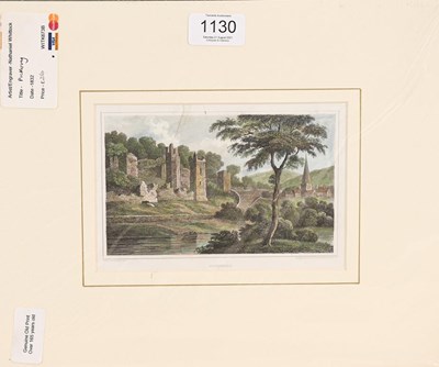
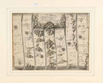
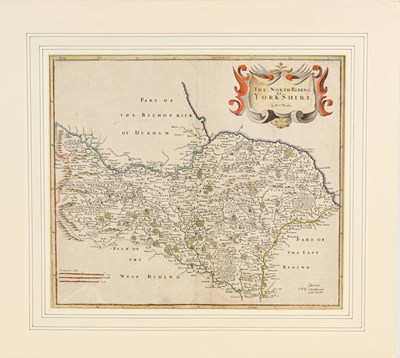
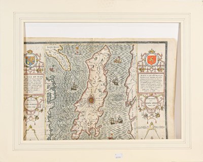
Maps. A collection of engraved antique maps of the British Isles, including: 1) Speed (John). The Isle of Man, London: Thomas Bassett and Richard Chiswell, [1676], 410 x 550 mm, hand-coloured, verso strengthened along central fold and with remnants of mounting-tabs along top edge, loose in map 2) Morden (Robert). The North Riding of Yorkshire, London: Abel Swale, Awnsham and John Churchill, c.1695, hand-coloured, 380 x 430 mm, mounted, 3) Ogilby (John). The Road from York to Whitby and Scarborough in Yorkshire, c.1700, 360 x 470 mm, laid down on tissue, mounted, 4) Pitts (J.). A New Map of Twenty Miles Round London, c.1750, 450 x 405 mm, 5) Bowen (Emanuel). An Accurate Map of the North Riding of York Shire, London: for John Bowles, Carington Bowles, Robt Sayer, c.1750, 560 x 730, toned, rolled in a tube, and 6 others similar in a folder with a small number of other prints (qty: 4 maps in mounts, 1 in tube, and a folder)
Sold for £180
Estimated at £50 - £100
Auction: Antiques & Interiors (Part II), 21st Aug, 2021
Sell one like this
If you've got a similar item to sell, complete the valuation form below and one of our experts will get in touch.

