28th Jul, 2021 10:30 GMT/BST
Books, Maps & Manuscripts

144
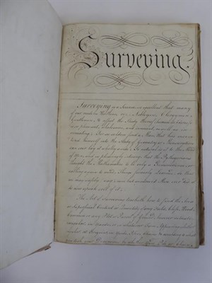
Surveying; Yorkshire. Illustrated manuscript guide to surveying by Thomas Wilson, 1792-3. Folio...
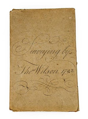
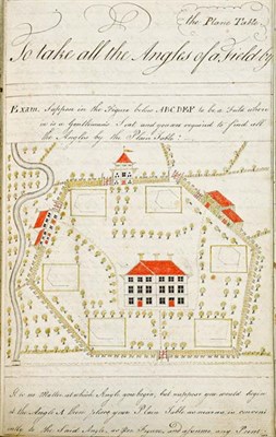
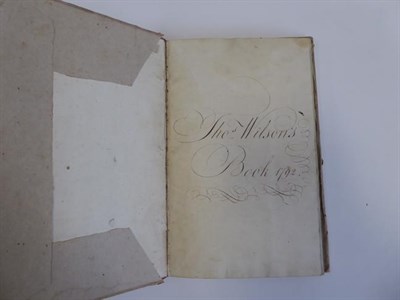
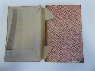
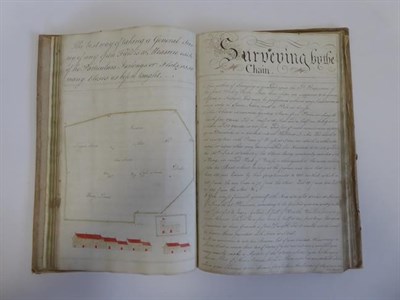
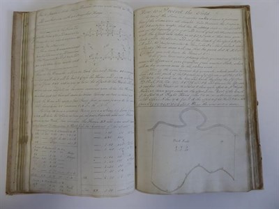
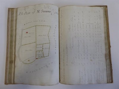
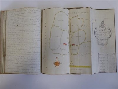
Surveying; Yorkshire. Illustrated manuscript guide to surveying by Thomas Wilson, 1792-3. Folio (330 x 205 mm), contemporary mottled half calf, spine compartments ruled in gilt, paper sides printed with a geometric and floral pattern in red, retaining a contemporary wrapper of heavy wove brown paper with calligraphic manuscript title 'Surveying by Thos. Wilson 1792', edges dyed blue. [84] ff. (laid paper, Britannia watermark), 2 folding estate plans in pen-and-ink and watercolour with decorative cartouches ('A Plan of Part of the Estate of John Jackson Esqr lying in the Parish of Barton' and 'A Plan of Westerdale-Town with some of the Fields Adjoyning'), calligraphic headings, some 80 diagrams and plans in the text, including about 30 simple trigonometric diagrams in pen and ink only, the rest comprising more detailed diagrams and estate plans incorporating stylised features in watercolour including cottages, hedgerows and river courses, calligraphic ownership inscription 'Thos. Wilson's Book 1792' to front free endpaper, a few old stains, in very good condition, unrestored (qty: 1) A remarkable unpublished document produced at the height of the agricultural revolution. Sections include 'Description and Use of Gunter's Chain', 'Practical Surveying by the Theodolite', and 'Irregular Figures to Exercise the Young Surveyor in Casting up'. Provenance: by direct descent to the current vendor.
Sold for £2,000
Estimated at £500 - £800
Auction: Books, Maps & Manuscripts, 28th Jul, 2021
Books, Maps & Manuscripts
Sell one like this
If you've got a similar item to sell, complete the valuation form below and one of our experts will get in touch.

