28th Jul, 2021 10:30 GMT/BST
Books, Maps & Manuscripts

20
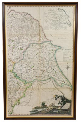
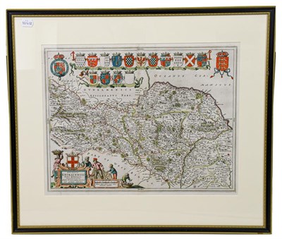
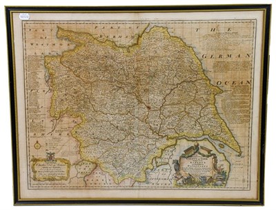
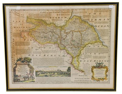
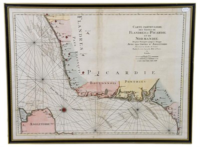
Yorkshire. Four maps of Yorkshire, 17th-19th century, comprising: 1) Tuke (John). Map of the County
Sold for £350
Estimated at £100 - £200
One document is noticeably damp-stained; otherwise overall condition very good. Many documents relate to transactions made by Richard Heeles [Heelis] the elder and younger of Draughton during the late 17th century with various parties from Draughton and other settlements in Yorkshire (e.g. Easby). The Kildwick Grange documents include a form of quitclaim signed by John Coates of Kildwick Grange in 1691. Apparently it was his forebear, also John Coates, for whom the house was built in the 1620s.
We are happy to provide Condition Reports to Prospective Buyers, but would welcome your request as soon as possible, preferably at least 48 hours before the Day of Sale.
We cannot guarantee a reply to any requests made within 48 hours of the start of the auction. The absence of a condition report from a lot does not mean that the lot is in perfect condition.
A Condition Report is an honest expression of our opinion, not a statement of fact and is provided as a service to the Seller. All lots are available on public view ahead of an auction and we encourage people to see an item in person when possible.
Our Condition Reports are not prepared by professional conservators, restorers or engineers, and are prepared with the naked eye unless otherwise stated.
Works are not examined out of the frame, unless specifically stated. We accept no liability for the opinions expressed in any Condition Report.
Tennants Auctioneers do not cover damage to gilded wood or plaster picture frames, or to picture frame glass whilst the item is in our possession.
Auction: Books, Maps & Manuscripts, 28th Jul, 2021
Books, Maps & Manuscripts
Sell one like this
If you've got a similar item to sell, complete the valuation form below and one of our experts will get in touch.

