28th Jul, 2021 10:30 GMT/BST
Books, Maps & Manuscripts

6
Moll (Herman). A Set of Fifty New and Correct Maps of England and Wales, etc. With the Great...
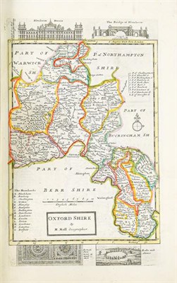
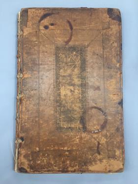
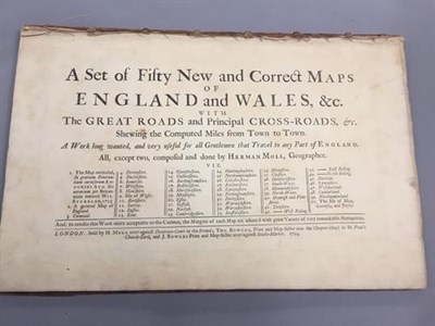
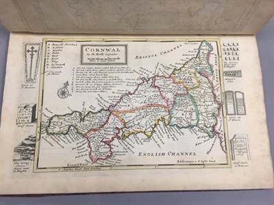
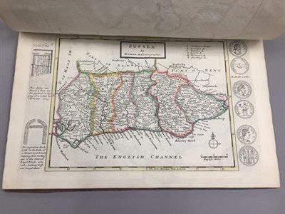
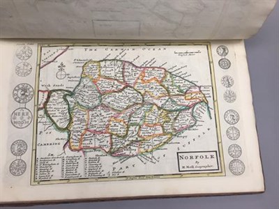
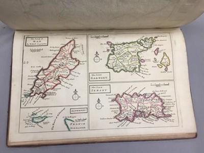
Moll (Herman). A Set of Fifty New and Correct Maps of England and Wales, etc. With the Great Roads and Principal Cross-Roads, etc. Shewing the Computed Miles from Town to Town, London: sold by H. Moll; Tho. Bowles, J. Bowles, 1724. Folio (357 x 230 mm), contemporary panelled calf, letterpress title-page, 50 engraved maps (including 2 general maps, both folding), all hand-coloured in outline, the county maps including engraved vignettes of local antiquities in margins, contemporary ownership inscription (Eliz[abe]th Wallace) and later bookplate (Christopher Coleman Gill) to front pastedown, binding worn, front board detached (together with front free endpaper and initial blank), rear joint cracked, browning to letterpress title-page and the 2 general maps, map of Cornwall slightly toned and mottled along edges (qty: 1) Chubb CLXI. First separate edition of the maps from Herman Moll's A New Description of England and Wales, published the same year; the only change is that the maps are now numbered between brackets in the top-left corner. According to Chubb the maps were uncoloured.
Sold for £1,200
Estimated at £400 - £600
Auction: Books, Maps & Manuscripts, 28th Jul, 2021
Books, Maps & Manuscripts
Sell one like this
If you've got a similar item to sell, complete the valuation form below and one of our experts will get in touch.

